About Harrington
Harrington is a fishing village on the northern entrance of the Manning River on the Mid North Coast. It was established in 1853 and proclaimed a village on 26 September 1896.
It lies 15 km north-east of Taree and 335 km north-east of Sydney. The explorer John Oxley named it after the Earl of Harrington.
How Harrington got here
A few dates and facts that shaped the place.
1853
The village is established at the mouth of the Manning River.
26 September 1896
Harrington is proclaimed a village.
Today
A primary school, Marine Rescue Crowdy Harrington, and SES and RFS units serve the village.
More about Harrington
Harrington has a public school, and its emergency services include Marine Rescue Crowdy Harrington, the SES and the Rural Fire Service. The river entrance has a long working history: before the railway, goods from the Manning went to sea across the bar at Harrington, where many ships were lost.
Write something…
Where is Harrington?
Harrington is in the MidCoast Council area on the Mid North Coast of New South Wales.
Nearby towns with hubs on OurHub, with straight-line distances: Manning Point (4 km south-west), Crowdy Head (7 km north-east), Coopernook (8 km north-west), Moorland (12 km north).
What the Harrington directory lists
To eat and drink: Harrington Hotel. Shops and services: Harrington Post Office. For health: Harrington Waters Medical Clinic, HealthHub, Village Pharmacy. Halls and community places: Harrington Library.
Parks, beaches and recreation: Captain Cook Bicentennial Park, Esmond Hogan Park, Harrington Waters Golf Course. Schools and learning: Harrington Public School. Churches: Harrington Community Church. Emergency services: Harrington Rural Fire Brigade.
Get in touch
A question, something out of date, a group to link, or the keys to this hub: send it here and someone at OurHub will get back to you.
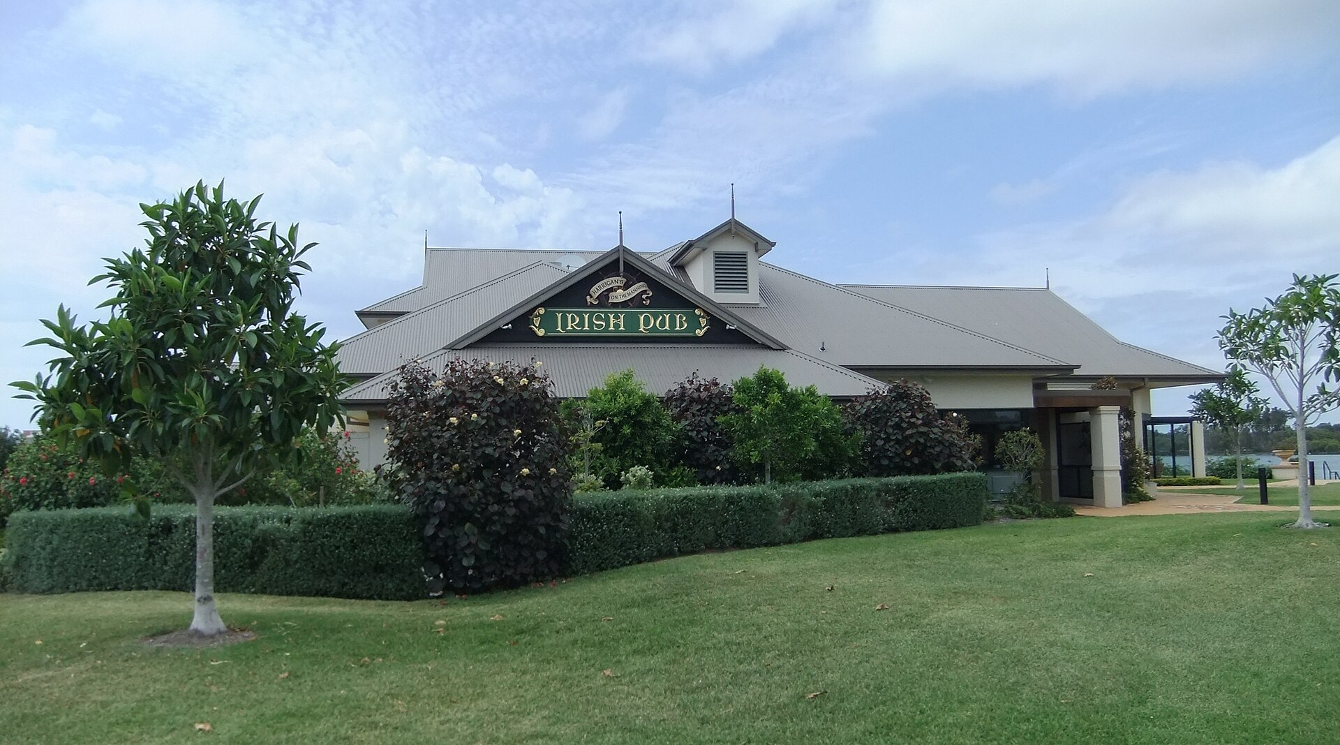
Photo: “The Harrigan's Irish Pub - Taken on Monday, 3rd January 2011 at 11-01am. - panoramio” by Christopher Wood (CC BY-SA 3.0), via Wikimedia Commons. Town facts: Wikipedia (CC BY-SA 4.0), which cites the Australian Bureau of Statistics census. Straight-line distances are worked out from the hub’s coordinates. Directory locations © OpenStreetMap contributors (ODbL).